Planning and Community Development

Zoning Information (Copy-1)

The Planning and Community Development Department administers the Town’s planning, zoning, and building regulations. The Zoning Regulations determine what property owners are allowed to do with their land. The Town’s land use regulations can be found in the Town of Ridgeland SmartCode. This page provides a variety of resources about the Town’s zoning ordinances.

About the Zoning Code

Ridgeland’s zoning code is a modified version of the SmartCode. It is a zoning code which categorizes land into different ‘transects’ based on the density of development. For example, an area of preserved woodlands would be categorized under Transect 1 (T1), which legally restricts almost all development in that zone. Suburban areas are typically zoned T3, which allows for lower-density residential development. Ridgeland’s downtown area is generally zoned under higher-density residential and commercial zones like T4 and T5. To learn about what is allowed in each Transect in Ridgeland, see Article 6, Table 2 of the SmartCode.

Town of Ridgeland Final Growth Map

Town of Ridgeland Comprehensive Plan

Town of Ridgeland Zoning Ordinance

Town of Ridgeland Sector Map

Town of Ridgeland Transect Map

Jasper County Storm Water Manual

The Town of Ridgeland Zoning Map

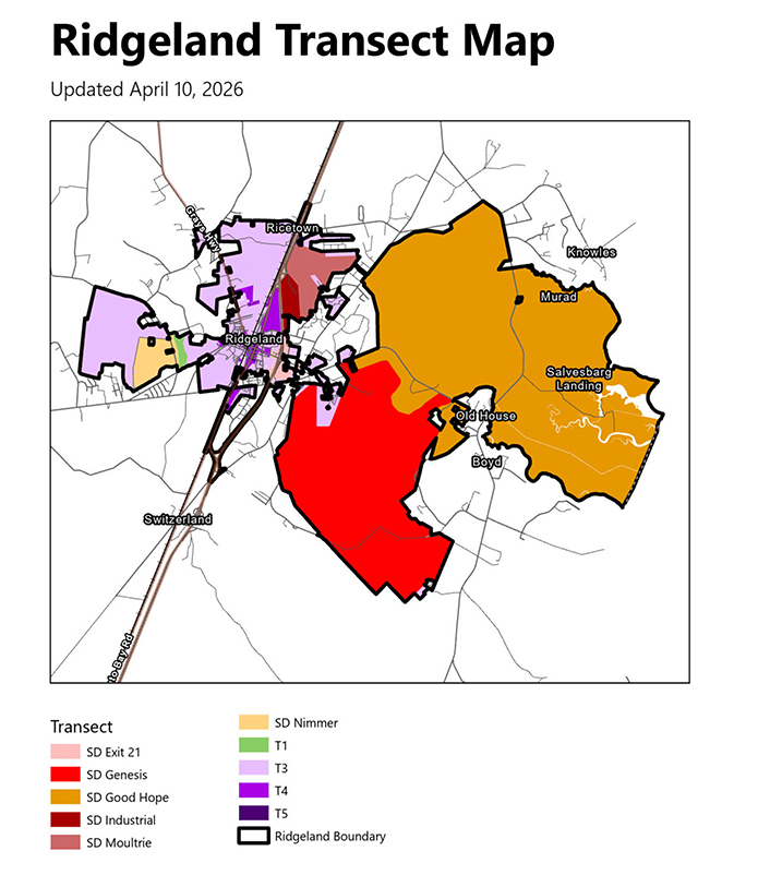
Ridgeland Transect Map updated April 10, 2026, showing color-coded zoning districts within and around the Town of Ridgeland, South Carolina. The map legend identifies ten zones: SD Exit 21 (light pink), SD Genesis (red), SD Good Hope (dark orange), SD Industrial (dark brown), SD Moultrie (mauve), SD Nimmer (light orange), T1 (green), T3 (light purple), T4 (lavender), and T5 (dark purple), with a black outline marking the Ridgeland municipal boundary. Named areas on the map include Ricetown, Ridgeland, Knowles, Murad, Salvesbarg Landing, Old House, Boyd, and Switzerland.


Town of Ridgeland Sector Map

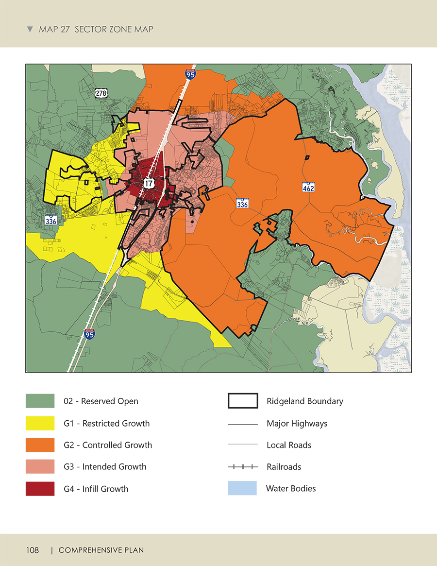
Map 27 Sector Zone Map from the Town of Ridgeland Comprehensive Plan, page 108. The color-coded map shows five growth sector designations within the Ridgeland boundary: O2 Reserved Open (green), G1 Restricted Growth (yellow), G2 Controlled Growth (orange), G3 Intended Growth (light pink), and G4 Infill Growth (dark red). Major highways shown include Interstate 95, US Highway 17, SC Route 336, and SC Route 462. Additional map features include major highways, local roads, railroads, and water bodies. The Ridgeland municipal boundary is outlined in black.


© Town of Ridgeland/Website by Hazel Digital Media